
Westoe Dam topographic map
Interactive map
Click on the map to display elevation.
About this map
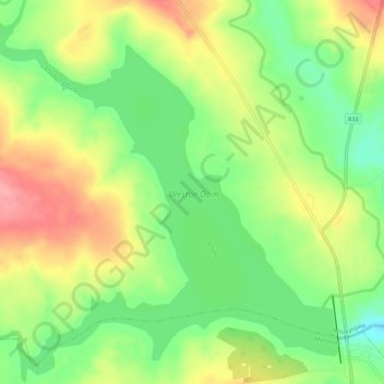
Name: Westoe Dam topographic map, elevation, terrain.
Average elevation: 5,131 ft
Minimum elevation: 4,970 ft
Maximum elevation: 5,322 ft
Other topographic maps
Click on a map to view its topography, its elevation and its terrain.
Ngwempisi
RSA > Mpumalanga > Msukaligwa
Ngwempisi, Msukaligwa, Gert Sibande, Mpumalanga, RSA
Average elevation: 4,705 ft