
Burg Loburg topographic map
Interactive map
Click on the map to display elevation.
About this map
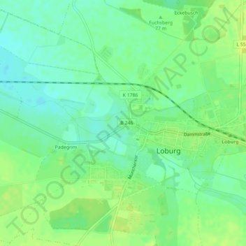
Name: Burg Loburg topographic map, elevation, terrain.
Average elevation: 253 ft
Minimum elevation: 223 ft
Maximum elevation: 282 ft
Other topographic maps
Click on a map to view its topography, its elevation and its terrain.
Friedensau
Deutschland > Sachsen-Anhalt > Möckern > Friedensau
Friedensau, Möckern, Jerichower Land, Sachsen-Anhalt, Deutschland
Average elevation: 203 ft
Büden
Deutschland > Sachsen-Anhalt > Möckern > Büden
Büden, Möckern, Jerichower Land, Sachsen-Anhalt, Deutschland
Average elevation: 200 ft
Grabow
Deutschland > Sachsen-Anhalt > Möckern > Grabow
Grabow, Möckern, Jerichower Land, Sachsen-Anhalt, Deutschland
Average elevation: 197 ft