
Langley topographic map
Click on the map to display elevation.
About this map
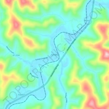
Name: Langley topographic map, elevation, terrain.
Location: Langley, Floyd County, Kentucky, 41645, United States (37.51177 -82.81072 37.55177 -82.77072)
Average elevation: 909 ft
Minimum elevation: 633 ft
Maximum elevation: 1,552 ft
Floyd County trails, hiking, mountain biking, running and outdoor activities
Other topographic maps
Click on a map to view its topography, its elevation and its terrain.