Geolocate

Kurtha topographic map

Click on the map to display elevation.

About this map

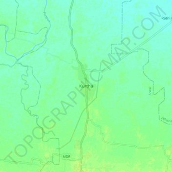
Name: Kurtha topographic map, elevation, terrain.

Location: Kurtha, Arwal, Bihar, 804421, India (25.07972 84.77149 25.15972 84.85149)

Average elevation: 240 ft

Minimum elevation: 220 ft

Maximum elevation: 259 ft

Gear up for your next adventure:

🔦Compact Flashlight - Reliable flashlight for emergencies
🛰️Satellite Messengers - Emergency SOS and two-way messaging for off-grid adventures
Camping Coffee Makers - Enjoy premium coffee at the summit or campsite
🪓Survival Multi‑Tool - Versatile tool for camp and trail tasks
❄️Traction Cleats - Prevent slips on icy trails during winter hikes

As an Amazon Associate, this site earns from qualifying purchases at no extra cost to you.