Geolocate

Devgarh topographic map

Click on the map to display elevation.

About this map

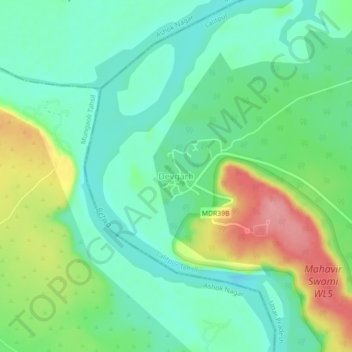
Name: Devgarh topographic map, elevation, terrain.

Location: Devgarh, Lalitpur Tehsil, Lalitpur, Uttar Pradesh, India (24.50413 78.21575 24.54413 78.25575)

Average elevation: 1,260 ft

Minimum elevation: 1,142 ft

Maximum elevation: 1,493 ft

Gear up for your next adventure:

🪶Multi‑Purpose Knife - Useful blade for camp and trail
🎒Waterproof Dry Bags - Keep your electronics and maps dry inside your pack
👖Convertible Hiking Pants - Versatile zip-off pants for changing altitudes and temperatures
🧭Compass with Lanyard - Easy‑carry compass for navigation
📚USA Hiking Guide Books - Top trail guides and map books

As an Amazon Associate, this site earns from qualifying purchases at no extra cost to you.