Geolocate

Margram topographic map

Click on the map to display elevation.

About this map

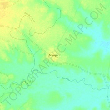
Name: Margram topographic map, elevation, terrain.

Location: Margram, Rampurhat - II, Birbhum, West Bengal, 731203, India (24.10944 87.80389 24.18944 87.88389)

Average elevation: 98 ft

Minimum elevation: 69 ft

Maximum elevation: 135 ft

Gear up for your next adventure:

🛰️Handheld GPS Units - Professional satellite navigators for precise backcountry mapping
🧥Waterproof Jacket for Hiking - Breathable and rugged rain jacket for outdoor excursions
🌡️Handheld Weather Meters - Measure wind, temp, and pressure for safe mountain travel
🌄Hiking Binoculars - Compact binoculars for scenic views and trail spotting
🥾Women's Hiking Boots - Top-rated trail boots with ankle support and superior grip

As an Amazon Associate, this site earns from qualifying purchases at no extra cost to you.