
Thank you for supporting this site ❤️
Make a donation
Make a donation
Gear up for your next adventure:
As an Amazon Associate, this site earns from qualifying purchases at no extra cost to you.
Clonmel topographic map
Click on the map to display elevation.
Thank you for supporting this site ❤️
Make a donation
Make a donation
Gear up for your next adventure:
As an Amazon Associate, this site earns from qualifying purchases at no extra cost to you.
About this map
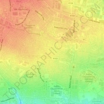
Name: Clonmel topographic map, elevation, terrain.
Location: Clonmel, Ballymun E ED, Dublin, Dublin 11, Leinster, Ireland (53.38768 -6.27838 53.39569 -6.26620)
Average elevation: 187 ft
Minimum elevation: 75 ft
Maximum elevation: 249 ft
Thank you for supporting this site ❤️
Make a donation
Make a donation
Gear up for your next adventure:
As an Amazon Associate, this site earns from qualifying purchases at no extra cost to you.