
Make a donation
Gear up for your next adventure:
As an Amazon Associate, this site earns from qualifying purchases at no extra cost to you.
colonia Sommerfeld topographic map
Click on the map to display elevation.
Make a donation
Gear up for your next adventure:
As an Amazon Associate, this site earns from qualifying purchases at no extra cost to you.
About this map
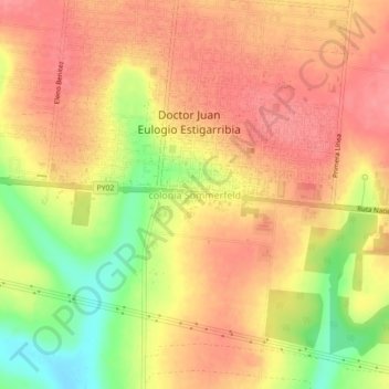
Name: colonia Sommerfeld topographic map, elevation, terrain.
Location: colonia Sommerfeld, Caaguazú, Región Oriental, Paraguay (-25.39912 -55.72384 -25.35912 -55.68384)
Average elevation: 955 ft
Minimum elevation: 784 ft
Maximum elevation: 1,047 ft
Make a donation
Gear up for your next adventure:
As an Amazon Associate, this site earns from qualifying purchases at no extra cost to you.
Other topographic maps
Click on a map to view its topography, its elevation and its terrain.
San José de los Arroyos
Although there is some controversy regarding its foundation, the official version is that it was founded by a former governor of Paraguay, Don Pedro Melo de Portugal on March 19, 1780, still during the time of Spanish colonialism and later elevated to a municipality in 1884. Like most towns in Paraguay with…
Average elevation: 397 ft