
Make a donation
Gear up for your next adventure:
As an Amazon Associate, this site earns from qualifying purchases at no extra cost to you.
Mukerian topographic map
Click on the map to display elevation.
Make a donation
Gear up for your next adventure:
As an Amazon Associate, this site earns from qualifying purchases at no extra cost to you.
Mukerian
Mukerian is located at 31°57′N 75°37′E / 31.95°N 75.62°E / 31.95; 75.62. It has an average elevation of 245 metres (804 ft).
Make a donation
Gear up for your next adventure:
As an Amazon Associate, this site earns from qualifying purchases at no extra cost to you.
About this map
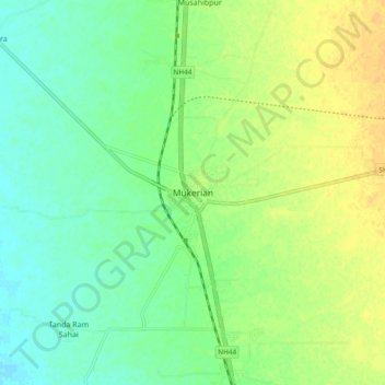
Name: Mukerian topographic map, elevation, terrain.
Location: Mukerian, Mukerian Tahsil, Hoshiarpur, Punjab, 144211, India (31.91196 75.57399 31.99196 75.65399)
Average elevation: 846 ft
Minimum elevation: 807 ft
Maximum elevation: 892 ft
Make a donation
Gear up for your next adventure:
As an Amazon Associate, this site earns from qualifying purchases at no extra cost to you.