Geolocate

Ardakan topographic map

Click on the map to display elevation.

About this map

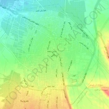
Name: Ardakan topographic map, elevation, terrain.

Location: Ardakan, بخش مرکزی اردکان, Ardakan County, Yazd Province, Iran (32.27507 53.96864 32.33779 54.04840)

Average elevation: 3,419 ft

Minimum elevation: 3,356 ft

Maximum elevation: 3,510 ft

Other topographic maps

Click on a map to view its topography, its elevation and its terrain.

Torkabad

Iran > Yazd Province > Ardakan County > Ardakan > Torkabad

Average elevation: 3,356 ft

Gear up for your next adventure:

🧺Microfiber Travel Towels - Compact and fast-drying towels for trail use
Backpacking Tents - Weight-optimized shelters for multi-day topographic surveys
🔪Outdoor Multitools - Essential survival tools for gear repair and field use
📚Navigation Handbooks - Master the art of reading topographic maps and using a compass
🧭Pro Hiking Compasses - High-accuracy liquid-filled compasses for topographic orientation

As an Amazon Associate, this site earns from qualifying purchases at no extra cost to you.