
Thank you for supporting this site ❤️
Make a donation
Make a donation
Gear up for your next adventure:
As an Amazon Associate, this site earns from qualifying purchases at no extra cost to you.
Gwamongga topographic map
Click on the map to display elevation.
Thank you for supporting this site ❤️
Make a donation
Make a donation
Gear up for your next adventure:
As an Amazon Associate, this site earns from qualifying purchases at no extra cost to you.
About this map
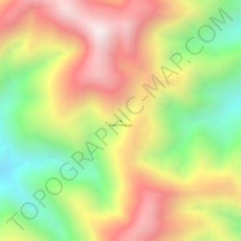
Name: Gwamongga topographic map, elevation, terrain.
Location: Gwamongga, Pegunungan Arfak, West Papua, Indonesia (-1.40005 133.84995 -1.39995 133.85005)
Average elevation: 7,664 ft
Minimum elevation: 6,378 ft
Maximum elevation: 8,780 ft
Thank you for supporting this site ❤️
Make a donation
Make a donation
Gear up for your next adventure:
As an Amazon Associate, this site earns from qualifying purchases at no extra cost to you.