Geolocate

Zira topographic map

Click on the map to display elevation.

About this map

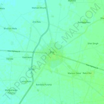
Name: Zira topographic map, elevation, terrain.

Location: Zira, Zira Tahsil, Firozpur, Punjab, 142047, India (30.93130 74.94818 31.01130 75.02818)

Average elevation: 696 ft

Minimum elevation: 682 ft

Maximum elevation: 709 ft

Gear up for your next adventure:

🔌USB Car Charger - Car charger for on‑the‑go power needs
👓Polarized Sunglasses - Outdoor sunglasses for glare reduction
🧯Portable Fire Pit - Compact fire pit for camping spots
🧥Men's Rain Shells - Premium waterproof and breathable jackets for mountain weather
🧴Hand Sanitizer - Keep hands clean while hiking

As an Amazon Associate, this site earns from qualifying purchases at no extra cost to you.