Geolocate

Bhimpar topographic map

Click on the map to display elevation.

About this map

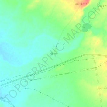
Name: Bhimpar topographic map, elevation, terrain.

Location: Bhimpar, Abdasa Taluka, Kachchh, Gujarat, 370650, India (23.19304 69.14442 23.23304 69.18442)

Average elevation: 354 ft

Minimum elevation: 295 ft

Maximum elevation: 469 ft

Gear up for your next adventure:

🎒Outdoor Daypacks - Lightweight backpacks designed for carrying maps and essential gear
🌡️Handheld Weather Meters - Measure wind, temp, and pressure for safe mountain travel
🥤Water Filter Bottle - All‑in‑one filter bottle for safe hydration
👖Convertible Hiking Pants - Versatile zip-off pants for changing altitudes and temperatures
🧢Outdoor Hiking Hat - Sun protection hat for outdoor explorers

As an Amazon Associate, this site earns from qualifying purchases at no extra cost to you.