
柳林县 topographic map
Interactive map
Click on the map to display elevation.
About this map
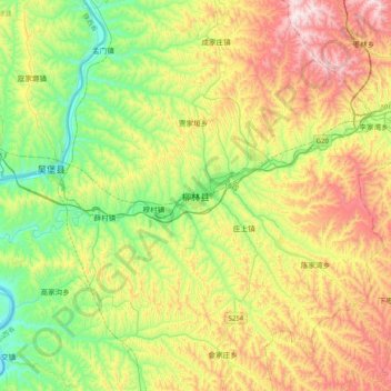
Name: 柳林县 topographic map, elevation, terrain.
Location: 柳林县, 吕梁市, 山西省, 中国 (37.26951 110.72325 37.58951 111.04325)
Average elevation: 3,166 ft
Minimum elevation: 2,011 ft
Maximum elevation: 4,984 ft
Other topographic maps
Click on a map to view its topography, its elevation and its terrain.