
高家沟乡 topographic map
Interactive map
Click on the map to display elevation.
About this map
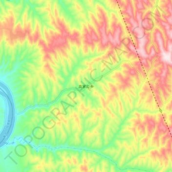
Name: 高家沟乡 topographic map, elevation, terrain.
Location: 高家沟乡, 柳林县, 吕梁市, 山西省, 中国 (37.31146 110.69844 37.39146 110.77844)
Average elevation: 2,720 ft
Minimum elevation: 2,018 ft
Maximum elevation: 3,474 ft
Other topographic maps
Click on a map to view its topography, its elevation and its terrain.