
Thank you for supporting this site ❤️
Make a donation
Make a donation
Gear up for your next adventure:
As an Amazon Associate, this site earns from qualifying purchases at no extra cost to you.
Garbeta topographic map
Click on the map to display elevation.
Thank you for supporting this site ❤️
Make a donation
Make a donation
Gear up for your next adventure:
As an Amazon Associate, this site earns from qualifying purchases at no extra cost to you.
About this map
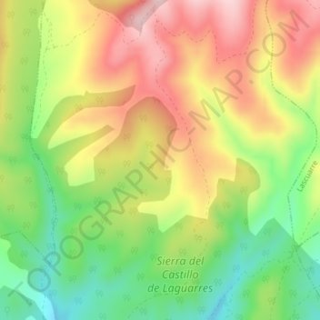
Name: Garbeta topographic map, elevation, terrain.
Location: Garbeta, Benabarre, La Ribagorza, Huesca, Aragon, 22580, Spain (42.14161 0.48995 42.16161 0.50995)
Average elevation: 3,159 ft
Minimum elevation: 2,743 ft
Maximum elevation: 3,586 ft
Thank you for supporting this site ❤️
Make a donation
Make a donation
Gear up for your next adventure:
As an Amazon Associate, this site earns from qualifying purchases at no extra cost to you.