
Lider topographic map
Interactive map
Click on the map to display elevation.
About this map
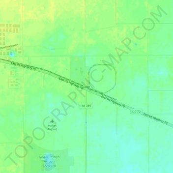
Name: Lider topographic map, elevation, terrain.
Location: Lider, Hale County, Texas, United States (34.15698 -101.64580 34.19698 -101.60580)
Average elevation: 3,337 ft
Minimum elevation: 3,304 ft
Maximum elevation: 3,363 ft
Other topographic maps
Click on a map to view its topography, its elevation and its terrain.
Abernathy
United States > Texas > Hale County
Abernathy, Hale County, Texas, 79311, United States
Average elevation: 3,346 ft