
Wellridge topographic map
Click on the map to display elevation.
About this map
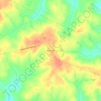
Name: Wellridge topographic map, elevation, terrain.
Location: Wellridge, Chester County, South Carolina, United States (34.60236 -81.09453 34.64236 -81.05453)
Average elevation: 495 ft
Minimum elevation: 404 ft
Maximum elevation: 574 ft
Other topographic maps
Click on a map to view its topography, its elevation and its terrain.
South Carolina Noname 12005 D-0209 Dam
United States > South Carolina > Chester County > Mountain Lakes
Average elevation: 489 ft