
Lac Sucker topographic map
Interactive map
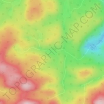
Click on the map to display elevation.
About this map
Name: Lac Sucker topographic map, elevation, terrain.
Average elevation: 1,204 ft
Minimum elevation: 758 ft
Maximum elevation: 1,601 ft
Other topographic maps
Click on a map to view its topography, its elevation and its terrain.
Lac Samlock
Canada > Quebec > Notre-Dame-du-Laus
Lac Samlock, Notre-Dame-du-Laus, Antoine-Labelle, Laurentides, Quebec, Canada
Average elevation: 922 ft
Petit lac du Brochet
Canada > Quebec > Notre-Dame-du-Laus
Petit lac du Brochet, Chemin du Sagittaire, Notre-Dame-du-Laus, Antoine-Labelle, Laurentides, Quebec, Canada
Average elevation: 840 ft