
Ad Dindar topographic map
Interactive map
Click on the map to display elevation.
About this map
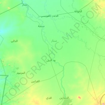
Name: Ad Dindar topographic map, elevation, terrain.
Location: Ad Dindar, Sannar, Sudan (11.69917 33.69995 13.59714 35.70083)
Average elevation: 1,532 ft
Minimum elevation: 1,322 ft
Maximum elevation: 3,550 ft
Other topographic maps
Click on a map to view its topography, its elevation and its terrain.
Dinder National Park
Dinder National Park, Ad Dindar, Sannar, Sudan
Average elevation: 1,778 ft