
Dinder National Park topographic map
Interactive map
Click on the map to display elevation.
About this map
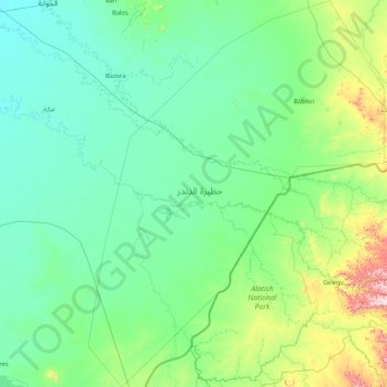
Name: Dinder National Park topographic map, elevation, terrain.
Location: Dinder National Park, Ad Dindar, Sannar, Sudan (11.76190 34.81119 13.42768 36.11887)
Average elevation: 1,778 ft
Minimum elevation: 1,421 ft
Maximum elevation: 4,364 ft
Other topographic maps
Click on a map to view its topography, its elevation and its terrain.