Geolocate

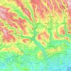
Cwmdare topographic map

Click on the map to display elevation.

About this map
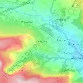
Name: Cwmdare topographic map, elevation, terrain.

Location: Cwmdare, Rhondda Cynon Taf, Wales, CF44 8TW, United Kingdom (51.70138 -3.49350 51.74138 -3.45350)

Average elevation: 761 ft

Minimum elevation: 410 ft

Maximum elevation: 1,447 ft

Other topographic maps

Click on a map to view its topography, its elevation and its terrain.
River Taff

United Kingdom > Wales > Rhondda Cynon Taf > Pontypridd

Average elevation: 643 ft

Pontypridd

United Kingdom > Wales > Rhondda Cynon Taf

Average elevation: 600 ft

Trealaw

United Kingdom > Wales > Rhondda Cynon Taf > Tonypandy

Average elevation: 728 ft

Mid Glamorgan

United Kingdom > Wales > Rhondda Cynon Taf

Average elevation: 771 ft

Llantwit Fardre

United Kingdom > Wales > Rhondda Cynon Taf > Tonteg

Average elevation: 404 ft

Pontypridd

United Kingdom > Wales > Rhondda Cynon Taf

Average elevation: 600 ft

Penrhiwceiber

United Kingdom > Wales > Rhondda Cynon Taf

Average elevation: 751 ft

Gear up for your next adventure:

🔌Solar Panel Charger - Charge gear sustainably outdoors
🧢Outdoor Hiking Hat - Sun protection hat for outdoor explorers
🏫Relief Map Kits - Hands-on tools for teaching landforms and elevation
🗺️NatGeo Topo Maps - High-quality waterproof printed topographic maps of US Parks
🌎3D Topographic Globes - Raised relief globes for a tactile understanding of geography

As an Amazon Associate, this site earns from qualifying purchases at no extra cost to you.