
Thank you for supporting this site ❤️
Make a donation
Make a donation
Gear up for your next adventure:
As an Amazon Associate, this site earns from qualifying purchases at no extra cost to you.
Behbahan topographic map
Click on the map to display elevation.
Thank you for supporting this site ❤️
Make a donation
Make a donation
Gear up for your next adventure:
As an Amazon Associate, this site earns from qualifying purchases at no extra cost to you.
About this map
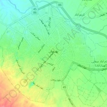
Name: Behbahan topographic map, elevation, terrain.
Location: Behbahan, بخش مرکزی, Behbahan County, Khuzestan Province, Iran (30.56620 50.20974 30.61834 50.26803)
Average elevation: 1,073 ft
Minimum elevation: 1,001 ft
Maximum elevation: 1,204 ft
Thank you for supporting this site ❤️
Make a donation
Make a donation
Gear up for your next adventure:
As an Amazon Associate, this site earns from qualifying purchases at no extra cost to you.