
Thank you for supporting this site ❤️
Make a donation
Make a donation
Gear up for your next adventure:
As an Amazon Associate, this site earns from qualifying purchases at no extra cost to you.
Pret topographic map
Click on the map to display elevation.
Thank you for supporting this site ❤️
Make a donation
Make a donation
Gear up for your next adventure:
As an Amazon Associate, this site earns from qualifying purchases at no extra cost to you.
About this map
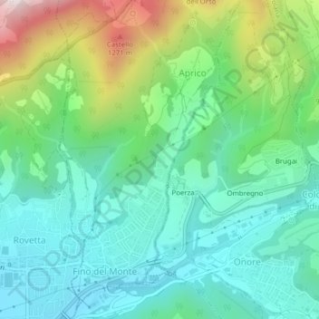
Name: Pret topographic map, elevation, terrain.
Location: Pret, Aprico, Fino del Monte, Bergamo, Lombardy, Italy (45.88980 9.98930 45.90980 10.00930)
Average elevation: 2,743 ft
Minimum elevation: 2,034 ft
Maximum elevation: 4,570 ft
Thank you for supporting this site ❤️
Make a donation
Make a donation
Gear up for your next adventure:
As an Amazon Associate, this site earns from qualifying purchases at no extra cost to you.