Geolocate

Dresden topographic map

Click on the map to display elevation.

About this map

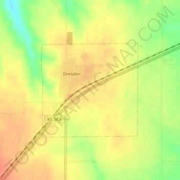
Name: Dresden topographic map, elevation, terrain.

Location: Dresden, Decatur County, Kansas, 67635, United States (39.61463 -100.42833 39.62875 -100.40940)

Average elevation: 2,717 ft

Minimum elevation: 2,618 ft

Maximum elevation: 2,769 ft

Decatur County trails, hiking, mountain biking, running and outdoor activities

Other topographic maps

Click on a map to view its topography, its elevation and its terrain.

Cedar Bluffs

United States > Kansas > Decatur County

Average elevation: 2,605 ft

Leoville

United States > Kansas > Decatur County

Average elevation: 2,762 ft

Gear up for your next adventure:

📶Satellite Messenger - Communication device off‑grid
Backpacking Tent - Lightweight and durable tent for multi‑day hikes
📱Solar Portable Charger - Solar power bank for charging devices off‑grid
🧯Emergency Survival Kit - All‑in‑one survival essentials for the backcountry
Backpacking Tents - Weight-optimized shelters for multi-day topographic surveys

As an Amazon Associate, this site earns from qualifying purchases at no extra cost to you.