
Thane topographic map
Click on the map to display elevation.
About this map
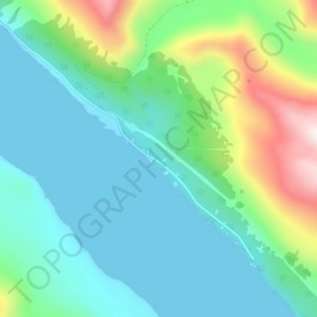
Name: Thane topographic map, elevation, terrain.
Location: Thane, Juneau, Alaska, United States (58.23805 -134.33844 58.27805 -134.29844)
Average elevation: 577 ft
Minimum elevation: -39 ft
Maximum elevation: 2,510 ft
Alaska trails, hiking, mountain biking, running and outdoor activities
Other topographic maps
Click on a map to view its topography, its elevation and its terrain.