
Fouchana topographic map
Interactive map
Click on the map to display elevation.
About this map
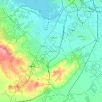
Name: Fouchana topographic map, elevation, terrain.
Location: Fouchana, Ben Arous, Tunisie (36.65130 10.13104 36.73601 10.25050)
Average elevation: 125 ft
Minimum elevation: 7 ft
Maximum elevation: 449 ft
Other topographic maps
Click on a map to view its topography, its elevation and its terrain.
Hammem Lif Bou Kornine
Hammem Lif Bou Kornine, Hammam Lif, Ben Arous, Tunisie
Average elevation: 56 ft