
Hammem Lif Bou Kornine topographic map
Interactive map
Click on the map to display elevation.
About this map
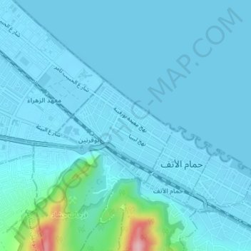
Name: Hammem Lif Bou Kornine topographic map, elevation, terrain.
Location: Hammem Lif Bou Kornine, Hammam Lif, Ben Arous, Tunisie (36.73055 10.32145 36.74034 10.33532)
Average elevation: 56 ft
Minimum elevation: -10 ft
Maximum elevation: 669 ft
Other topographic maps
Click on a map to view its topography, its elevation and its terrain.