
Thank you for supporting this site ❤️
Make a donation
Make a donation
Gear up for your next adventure:
As an Amazon Associate, this site earns from qualifying purchases at no extra cost to you.
Andaychagua topographic map
Click on the map to display elevation.
Thank you for supporting this site ❤️
Make a donation
Make a donation
Gear up for your next adventure:
As an Amazon Associate, this site earns from qualifying purchases at no extra cost to you.
About this map
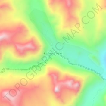
Name: Andaychagua topographic map, elevation, terrain.
Location: Andaychagua, Huay-Huay, Yauli, Junín, Peru (-11.77090 -76.03116 -11.73090 -75.99116)
Average elevation: 15,190 ft
Minimum elevation: 13,986 ft
Maximum elevation: 16,404 ft
Thank you for supporting this site ❤️
Make a donation
Make a donation
Gear up for your next adventure:
As an Amazon Associate, this site earns from qualifying purchases at no extra cost to you.