
黄柏园 topographic map
Interactive map
Click on the map to display elevation.
About this map
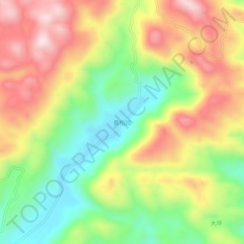
Name: 黄柏园 topographic map, elevation, terrain.
Location: 黄柏园, 宣恩县, 恩施土家族苗族自治州, 湖北省, 445500, 中国 (29.73233 109.36183 29.77233 109.40183)
Average elevation: 3,481 ft
Minimum elevation: 2,713 ft
Maximum elevation: 4,327 ft
Other topographic maps
Click on a map to view its topography, its elevation and its terrain.