
李家河镇 topographic map
Interactive map
Click on the map to display elevation.
About this map
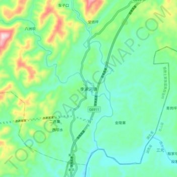
Name: 李家河镇 topographic map, elevation, terrain.
Location: 李家河镇, 宣恩县, 恩施土家族苗族自治州, 湖北省, 445500, 中国 (29.54963 109.41788 29.62963 109.49788)
Average elevation: 1,870 ft
Minimum elevation: 1,483 ft
Maximum elevation: 2,949 ft
Other topographic maps
Click on a map to view its topography, its elevation and its terrain.