Geolocate

Kilian topographic map

Click on the map to display elevation.

About this map

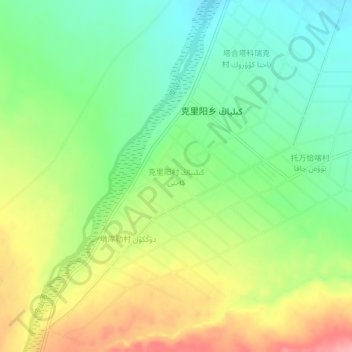
Name: Kilian topographic map, elevation, terrain.

Location: Kilian, Pishan County, Hotan Prefecture, Xinjiang, China (37.23512 77.80920 37.27512 77.84920)

Average elevation: 7,277 ft

Minimum elevation: 7,126 ft

Maximum elevation: 7,490 ft

Other topographic maps

Click on a map to view its topography, its elevation and its terrain.

Pishan County

China > Xinjiang > Pishan County

Average elevation: 9,380 ft

Gear up for your next adventure:

🗺️Topographic Maps - Detailed topo maps for hiking, exploring and outdoor navigation
🚗GPS Dash Cams - Record your scenic drives through mountain passes and canyons
🥾Men's Hiking Boots - Durable, waterproof footwear for rugged terrain and steep inclines
❄️Traction Cleats - Prevent slips on icy trails during winter hikes
⛑️Personal Locator Beacon - Safety beacon for emergencies

As an Amazon Associate, this site earns from qualifying purchases at no extra cost to you.