Geolocate

三块碑 topographic map

Interactive map

Click on the map to display elevation.

About this map

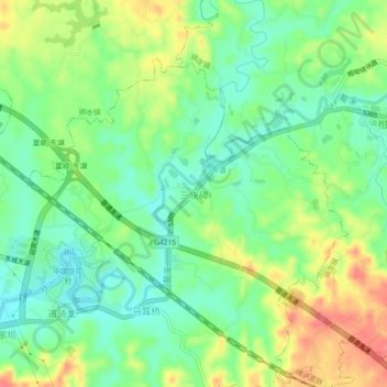
Name: 三块碑 topographic map, elevation, terrain.

Location: 三块碑, 富顺县, 自贡市, 四川省, 中国 (29.18185 105.04891 29.22185 105.08891)

Average elevation: 991 ft

Minimum elevation: 899 ft

Maximum elevation: 1,129 ft

Other topographic maps

Click on a map to view its topography, its elevation and its terrain.

富世街道

中国 > 四川省 > 富顺县

富世街道, 富顺县, 自贡市, 四川省, 中国

Average elevation: 984 ft

万坳

中国 > 四川省 > 富顺县 > 龙万乡

万坳, 龙万乡, 富顺县, 自贡市, 四川省, 中国

Average elevation: 1,040 ft

虎头

中国 > 四川省 > 富顺县 > 怀德镇

虎头, 怀德镇, 富顺县, 自贡市, 四川省, 中国

Average elevation: 909 ft

安溪镇

中国 > 四川省 > 富顺县

安溪镇, 富顺县, 自贡市, 四川省, 中国

Average elevation: 1,033 ft

安和寨

中国 > 四川省 > 富顺县 > 邓井关街道

安和寨, 邓井关街道, 富顺县, 自贡市, 四川省, 中国

Average elevation: 945 ft

富顺县

中国 > 四川省 > 富顺县

富顺县, 富世街道, 富顺县, 自贡市, 四川省, 中国

Average elevation: 1,043 ft

李桥镇

中国 > 四川省 > 富顺县

李桥镇, 富顺县, 自贡市, 四川省, 中国

Average elevation: 1,145 ft