
望江 topographic map
Interactive map
Click on the map to display elevation.
About this map
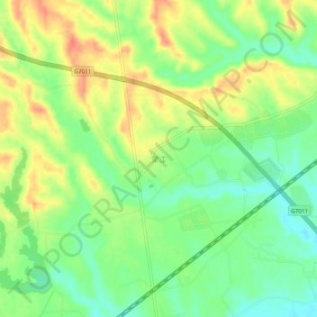
Name: 望江 topographic map, elevation, terrain.
Location: 望江, 汉台区, 汉中市, 陕西省, 中国 (33.11312 107.10372 33.15312 107.14372)
Average elevation: 1,716 ft
Minimum elevation: 1,637 ft
Maximum elevation: 1,804 ft
Other topographic maps
Click on a map to view its topography, its elevation and its terrain.