
东大街 topographic map
Interactive map
Click on the map to display elevation.
About this map
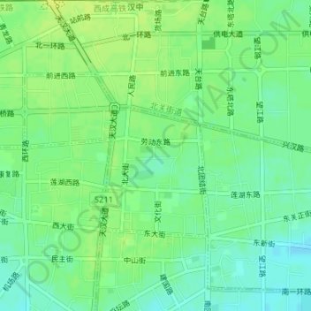
Name: 东大街 topographic map, elevation, terrain.
Location: 东大街, 汉台区, 汉中市, 陕西省, 723000, 中国 (33.07194 107.01402 33.08600 107.03307)
Average elevation: 1,690 ft
Minimum elevation: 1,660 ft
Maximum elevation: 1,713 ft
Other topographic maps
Click on a map to view its topography, its elevation and its terrain.