
Make a donation
Gear up for your next adventure:
As an Amazon Associate, this site earns from qualifying purchases at no extra cost to you.
Los Organos topographic map
Click on the map to display elevation.
Make a donation
Gear up for your next adventure:
As an Amazon Associate, this site earns from qualifying purchases at no extra cost to you.
Los Organos
Los Órganos es una pequeña ciudad y balneario peruano ubicado en el distrito de Los Órganos, provincia de Talara, departamento de Piura. Es asimismo capital del distrito de nombre homónimo. Se encuentra a una altitud de 13 m s. n. m. Tenía una población de 4831 habitantes en 1993.
Make a donation
Gear up for your next adventure:
As an Amazon Associate, this site earns from qualifying purchases at no extra cost to you.
About this map
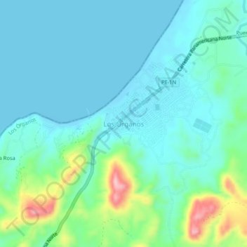
Name: Los Organos topographic map, elevation, terrain.
Location: Los Organos, Los Órganos, Talara, Piura, 20840, Perú (-4.19964 -81.14868 -4.15964 -81.10868)
Average elevation: 125 ft
Minimum elevation: -7 ft
Maximum elevation: 620 ft
Make a donation
Gear up for your next adventure:
As an Amazon Associate, this site earns from qualifying purchases at no extra cost to you.