
Tête du Géant topographic map
Interactive map
Click on the map to display elevation.
About this map
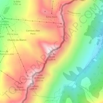
Name: Tête du Géant topographic map, elevation, terrain.
Location: Tête du Géant, Monthey, Valais, Suisse (46.22030 6.81692 46.22040 6.81702)
Average elevation: 5,948 ft
Minimum elevation: 4,682 ft
Maximum elevation: 7,234 ft
Other topographic maps
Click on a map to view its topography, its elevation and its terrain.