
Mahesana topographic map
Click on the map to display elevation.
About this map
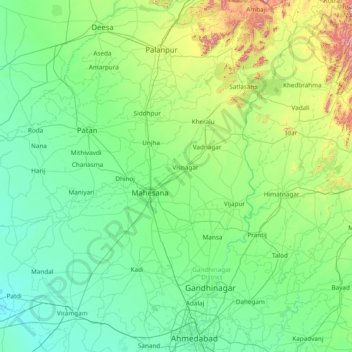
Name: Mahesana topographic map, elevation, terrain.
Location: Mahesana, Mahesana District, Gujarat, India (22.96667 71.80000 24.36667 73.20000)
Average elevation: 420 ft
Minimum elevation: 16 ft
Maximum elevation: 2,887 ft
Other topographic maps
Click on a map to view its topography, its elevation and its terrain.