Geolocate

Deep Lake topographic map

Click on the map to display elevation.

About this map

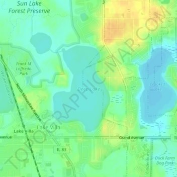
Name: Deep Lake topographic map, elevation, terrain.

Location: Deep Lake, Lake Villa, Lake County, Illinois, United States (42.41624 -88.07312 42.42946 -88.06126)

Average elevation: 797 ft

Minimum elevation: 761 ft

Maximum elevation: 856 ft

Lake County trails, hiking, mountain biking, running and outdoor activities

Gear up for your next adventure:

🦶Carbon Trekking Poles - Reduce knee impact on steep descents with ultra-light poles
🔌Solar Panel Charger - Charge gear sustainably outdoors
🌎3D Topographic Globes - Raised relief globes for a tactile understanding of geography
📶Vehicle Signal Boosters - Improve reception in rural areas while driving to trailheads
🌄Hiking Binoculars - Compact binoculars for scenic views and trail spotting

As an Amazon Associate, this site earns from qualifying purchases at no extra cost to you.