
Janowiec topographic map
Interactive map
Click on the map to display elevation.
About this map
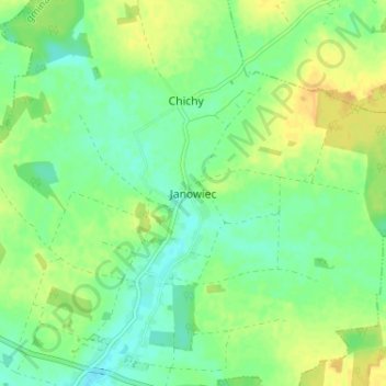
Name: Janowiec topographic map, elevation, terrain.
Average elevation: 433 ft
Minimum elevation: 397 ft
Maximum elevation: 476 ft
Other topographic maps
Click on a map to view its topography, its elevation and its terrain.
Gozdnica
Poland > Lubusz Voivodeship > Żagań County > Gozdnica
Gozdnica, Żagań County, Lubusz Voivodeship, 68-130, Poland
Average elevation: 486 ft