
Vale de Figueira topographic map
Interactive map
Click on the map to display elevation.
About this map
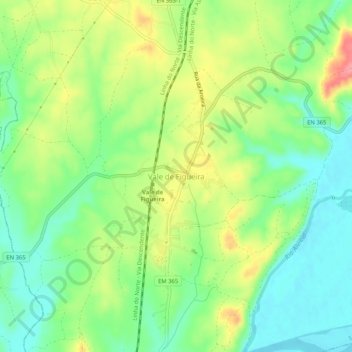
Name: Vale de Figueira topographic map, elevation, terrain.
Location: Vale de Figueira, Santarém, 2000-680, Portugal (39.29471 -8.64635 39.33471 -8.60635)
Average elevation: 135 ft
Minimum elevation: 16 ft
Maximum elevation: 312 ft
Other topographic maps
Click on a map to view its topography, its elevation and its terrain.
Arneiro das Milhariças
Portugal > Santarém > Santarém
Arneiro das Milhariças, Santarém, Portugal
Average elevation: 338 ft