
Thank you for supporting this site ❤️
Make a donation
Make a donation
Gear up for your next adventure:
As an Amazon Associate, this site earns from qualifying purchases at no extra cost to you.
Lasso topographic map
Click on the map to display elevation.
Thank you for supporting this site ❤️
Make a donation
Make a donation
Gear up for your next adventure:
As an Amazon Associate, this site earns from qualifying purchases at no extra cost to you.
About this map
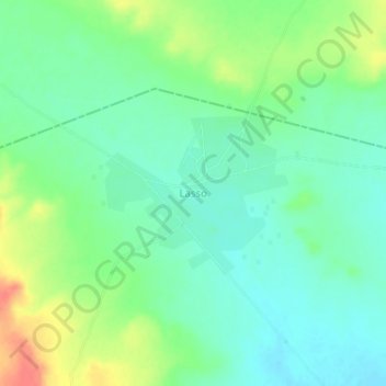
Name: Lasso topographic map, elevation, terrain.
Location: Lasso, Oury, Balé, Boucle du Mouhoun, Burkina Faso (12.04318 -3.10196 12.08318 -3.06196)
Average elevation: 971 ft
Minimum elevation: 912 ft
Maximum elevation: 1,086 ft
Thank you for supporting this site ❤️
Make a donation
Make a donation
Gear up for your next adventure:
As an Amazon Associate, this site earns from qualifying purchases at no extra cost to you.