Geolocate

Galena topographic map

Click on the map to display elevation.

About this map

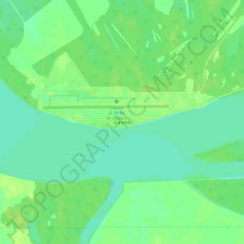
Name: Galena topographic map, elevation, terrain.

Location: Galena, Unorganized Borough, Alaska, United States (64.71355 -156.95162 64.75355 -156.91162)

Average elevation: 141 ft

Minimum elevation: 121 ft

Maximum elevation: 161 ft

Unorganized Borough trails, hiking, mountain biking, running and outdoor activities

Gear up for your next adventure:

🪑Ultralight Camp Chairs - Portable seating for resting after a long day of mapping
🌡️Handheld Weather Meters - Measure wind, temp, and pressure for safe mountain travel
🎒Hydration Pack - Hands‑free water reservoir for long hikes
🪶Wildlife Field Guides - Learn animal tracking and species ID
📡GPS Antenna Upgrade - Enhance GPS reception in remote terrain

As an Amazon Associate, this site earns from qualifying purchases at no extra cost to you.