Geolocate

Saint Peter topographic map

Click on the map to display elevation.

About this map

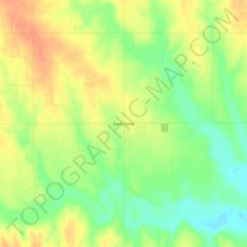
Name: Saint Peter topographic map, elevation, terrain.

Location: Saint Peter, Graham County, Kansas, United States (39.16973 -100.10930 39.20973 -100.06930)

Average elevation: 2,487 ft

Minimum elevation: 2,408 ft

Maximum elevation: 2,556 ft

Other topographic maps

Click on a map to view its topography, its elevation and its terrain.

Hill City

United States > Kansas > Graham County

Average elevation: 2,185 ft

Morland

United States > Kansas > Graham County

Average elevation: 2,346 ft

Gear up for your next adventure:

🧴Hand Sanitizer - Keep hands clean while hiking
🕶️GPS Smartphone Mount - Secure mount for phone navigation
🧭Compass with Lanyard - Easy‑carry compass for navigation
🚁Photography Drones - Capture stunning aerial views of landforms and topography
🎒Outdoor Daypacks - Lightweight backpacks designed for carrying maps and essential gear

As an Amazon Associate, this site earns from qualifying purchases at no extra cost to you.