
Thank you for supporting this site ❤️
Make a donation
Make a donation
Gear up for your next adventure:
As an Amazon Associate, this site earns from qualifying purchases at no extra cost to you.
Katekalyan topographic map
Click on the map to display elevation.
Thank you for supporting this site ❤️
Make a donation
Make a donation
Gear up for your next adventure:
As an Amazon Associate, this site earns from qualifying purchases at no extra cost to you.
About this map
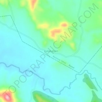
Name: Katekalyan topographic map, elevation, terrain.
Location: Katekalyan, Bastanar Tahsil, Bastar, Chhattisgarh, India (18.78075 81.62232 18.82075 81.66232)
Average elevation: 1,952 ft
Minimum elevation: 1,814 ft
Maximum elevation: 2,480 ft
Thank you for supporting this site ❤️
Make a donation
Make a donation
Gear up for your next adventure:
As an Amazon Associate, this site earns from qualifying purchases at no extra cost to you.