
Sydenham River topographic map
Interactive map
Click on the map to display elevation.
About this map
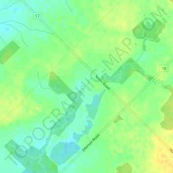
Name: Sydenham River topographic map, elevation, terrain.
Average elevation: 853 ft
Minimum elevation: 814 ft
Maximum elevation: 889 ft
Other topographic maps
Click on a map to view its topography, its elevation and its terrain.
Telfer
Canada > Ontario > Middlesex Centre
Telfer, Middlesex Centre, Middlesex County, Ontario, N6H 5L2, Canada
Average elevation: 919 ft