
Thank you for supporting this site ❤️
Make a donation
Make a donation
Gear up for your next adventure:
As an Amazon Associate, this site earns from qualifying purchases at no extra cost to you.
Fatschél topographic map
Click on the map to display elevation.
Thank you for supporting this site ❤️
Make a donation
Make a donation
Gear up for your next adventure:
As an Amazon Associate, this site earns from qualifying purchases at no extra cost to you.
About this map
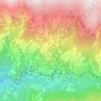
Name: Fatschél topographic map, elevation, terrain.
Location: Fatschél, Arosa, Plessur, Graubünden, 7028, Schweiz (46.81924 9.63354 46.85924 9.67354)
Average elevation: 4,944 ft
Minimum elevation: 2,854 ft
Maximum elevation: 7,080 ft
Thank you for supporting this site ❤️
Make a donation
Make a donation
Gear up for your next adventure:
As an Amazon Associate, this site earns from qualifying purchases at no extra cost to you.