Geolocate

Rowan Lake topographic map

Click on the map to display elevation.

About this map

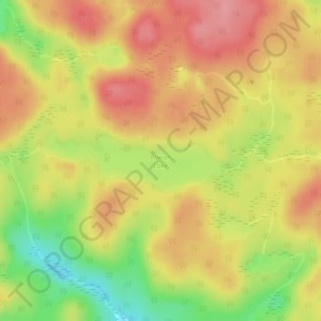
Name: Rowan Lake topographic map, elevation, terrain.

Location: Rowan Lake, Unorganized South Nipissing, Nipissing District, Northeastern Ontario, Ontario, Canada (45.89647 -77.80958 45.90149 -77.78702)

Average elevation: 922 ft

Minimum elevation: 722 ft

Maximum elevation: 1,053 ft

Other topographic maps

Click on a map to view its topography, its elevation and its terrain.

Gear up for your next adventure:

Backpacking Tents - Weight-optimized shelters for multi-day topographic surveys
🔦Compact Flashlight - Reliable flashlight for emergencies
🔌USB Car Charger - Car charger for on‑the‑go power needs
Backpacking Tent - Lightweight and durable tent for multi‑day hikes
❄️Traction Cleats - Prevent slips on icy trails during winter hikes

As an Amazon Associate, this site earns from qualifying purchases at no extra cost to you.