
Thank you for supporting this site ❤️
Make a donation
Make a donation
Gear up for your next adventure:
As an Amazon Associate, this site earns from qualifying purchases at no extra cost to you.
Montesabinese topographic map
Click on the map to display elevation.
Thank you for supporting this site ❤️
Make a donation
Make a donation
Gear up for your next adventure:
As an Amazon Associate, this site earns from qualifying purchases at no extra cost to you.
About this map
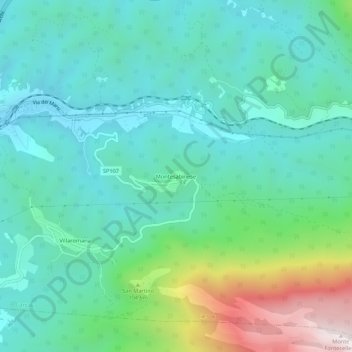
Name: Montesabinese topographic map, elevation, terrain.
Location: Montesabinese, Carsoli, L'Aquila, Abruzzo, 67065, Italia (42.07275 13.09459 42.11275 13.13459)
Average elevation: 2,772 ft
Minimum elevation: 1,998 ft
Maximum elevation: 5,295 ft
Thank you for supporting this site ❤️
Make a donation
Make a donation
Gear up for your next adventure:
As an Amazon Associate, this site earns from qualifying purchases at no extra cost to you.