Geolocate

Sarchu topographic map

Click on the map to display elevation.

About this map

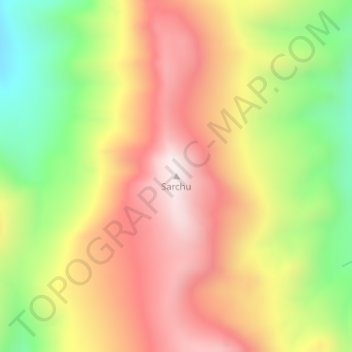
Name: Sarchu topographic map, elevation, terrain.

Location: Sarchu, Lahul, Lahul and Spiti, Himachal Pradesh, India (32.81546 77.53250 32.81556 77.53260)

Average elevation: 17,743 ft

Minimum elevation: 16,453 ft

Maximum elevation: 18,852 ft

Other topographic maps

Click on a map to view its topography, its elevation and its terrain.

Lahul

India > Himachal Pradesh > Lahul

Average elevation: 14,931 ft

Bara Shigri Glacier

India > Himachal Pradesh > Lahul

Average elevation: 17,615 ft

Gear up for your next adventure:

👓Polarized Sunglasses - Outdoor sunglasses for glare reduction
🛡️Bear Spray Outdoor - Protection in bear country hikes
🦶Hiking Gaiters - Keep debris and water out of your boots
🥾Men's Hiking Boots - Durable, waterproof footwear for rugged terrain and steep inclines
🚑Emergency Bivvies - Heat-reflective sleeping bags for survival situations

As an Amazon Associate, this site earns from qualifying purchases at no extra cost to you.